Seven volcanos in seven days. It is something I have wanted to do for over a decade. Timing, snow, partners, a weather window – there was always something preventing the trip – until this year.
With only a loose plan of getting to Bend, Oregon, and figuring it out, Marc Calaf and I were road-bound. We had an 11-hour drive to figure out a rough plan for the first 3 days. After that, we were going to watch the weather. The Pacific Northwest weather can be very unpredictable. The day we left, Rainier had sustained 60+mph winds. We had options where we could ski Bend and South or if the weather improved head north to the bigger peaks of Adams, Hood, and Rainier.
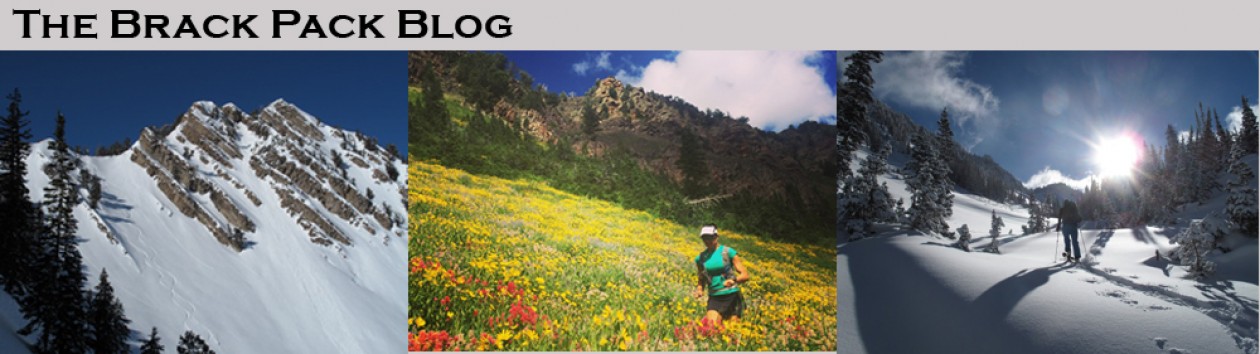
We decided to start the trip on Cascade Lakes Highway with a warm-up on Broken Top and then ski South Sister. We lucked out that the Cascade Lakes Highway opened on May 16 and we would be arriving on May 20. This would save us many miles of skinning to ski both peaks.
Broken Top is a rugged mountain whose magma core collapsed leaving a huge crater. We chose to ski The Sheild on the SW Ridge so we actually only summited South Broken Top. We were treated to solitude with no other skiers and amazing views of numerous prize ski lines. We were also treated to great weather with a small storm hitting just after we returned to the trailhead.
| Day 1 | |
| Ascent | 5,000′ |
| Descent | 13.0 miles |
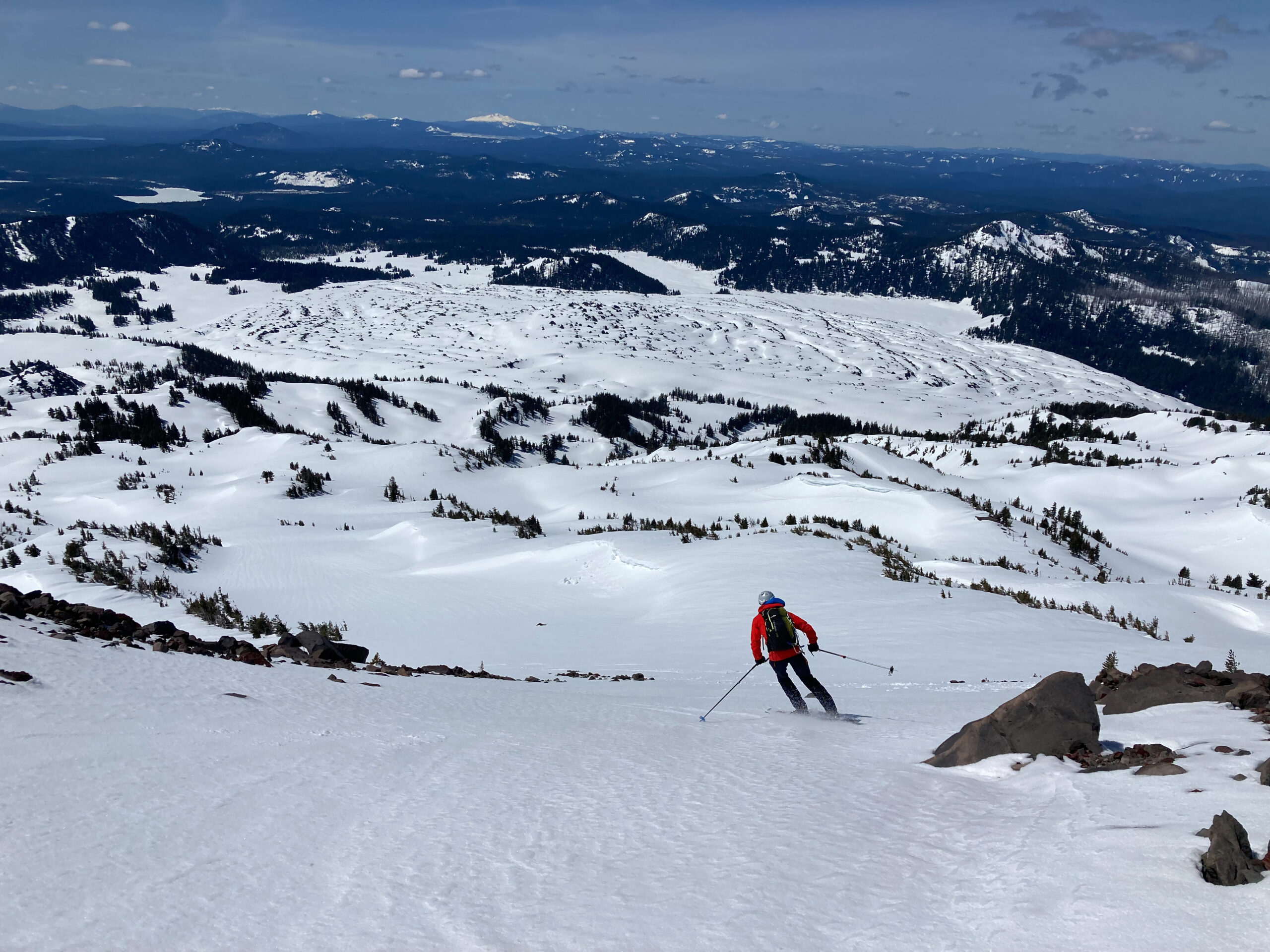
South Sister is the tallest and youngest of the 3 sisters. It also has the highest lake in Oregon (Teardrop Pool on the summit crater at 10,358’). South Sister’s SE Ridge is a very straightforward climb that was very busy with climbers and skiers. The highlight was definitely the summit crater. We were able to skin and ski right to and from the summit. We were treated with a 5,150’ descent with the top 3500’ being a continuous fall line
| Day 2 | Daily | Total |
| Ascent | 5,150′ | 10,150′ |
| Descent | 12.5 miles | 25.5 miles |
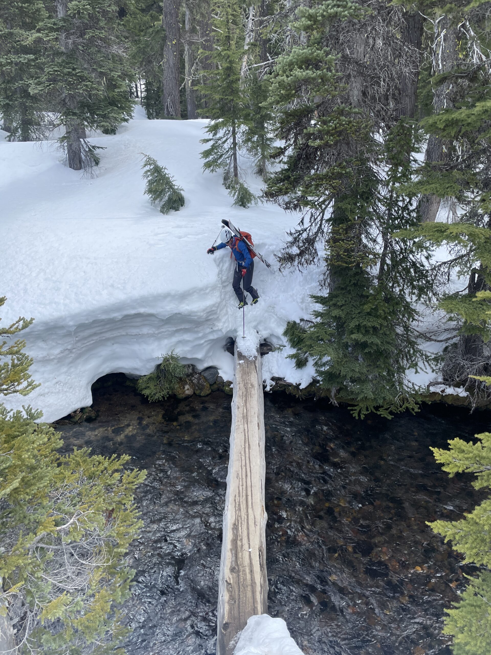
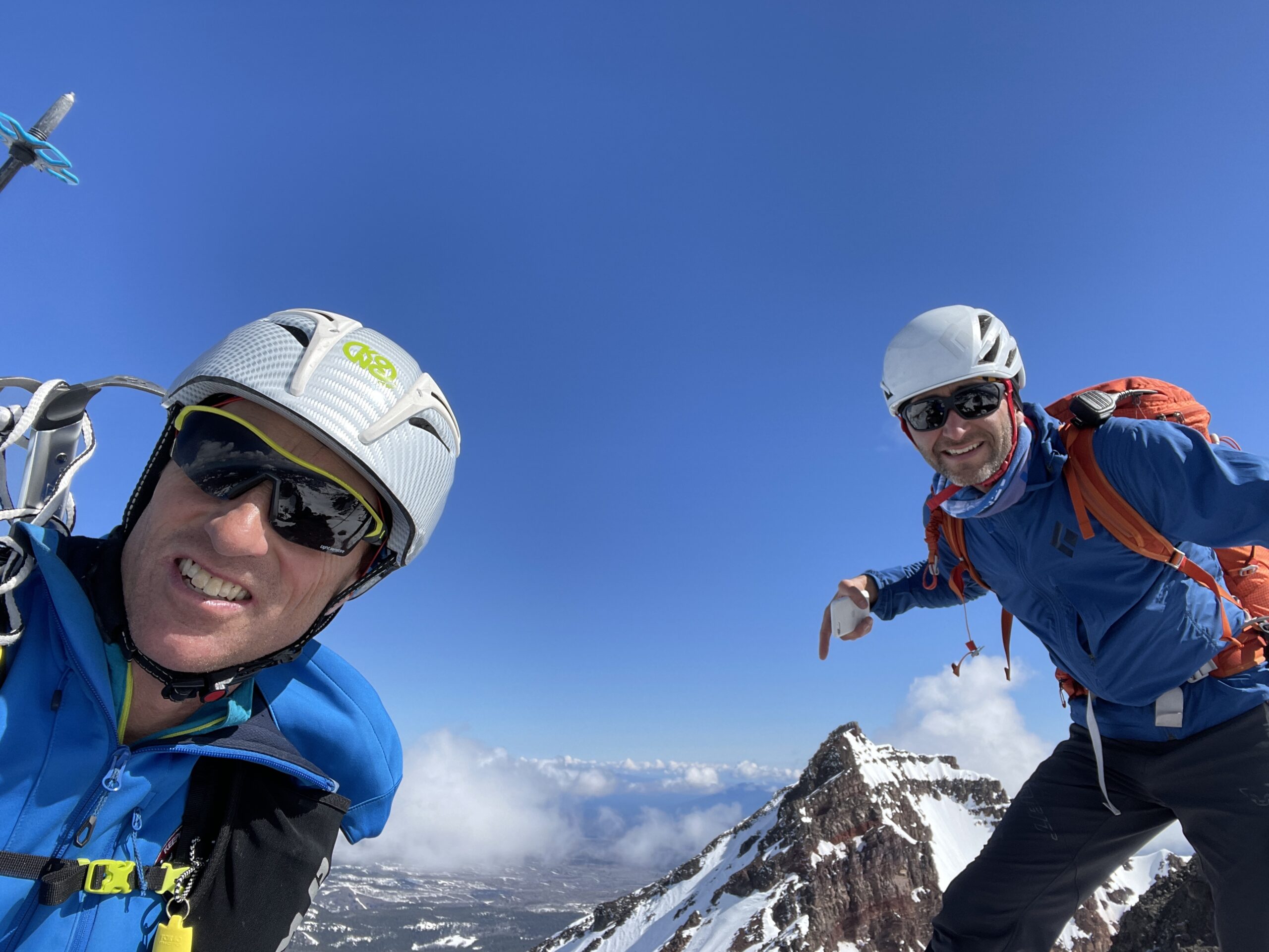
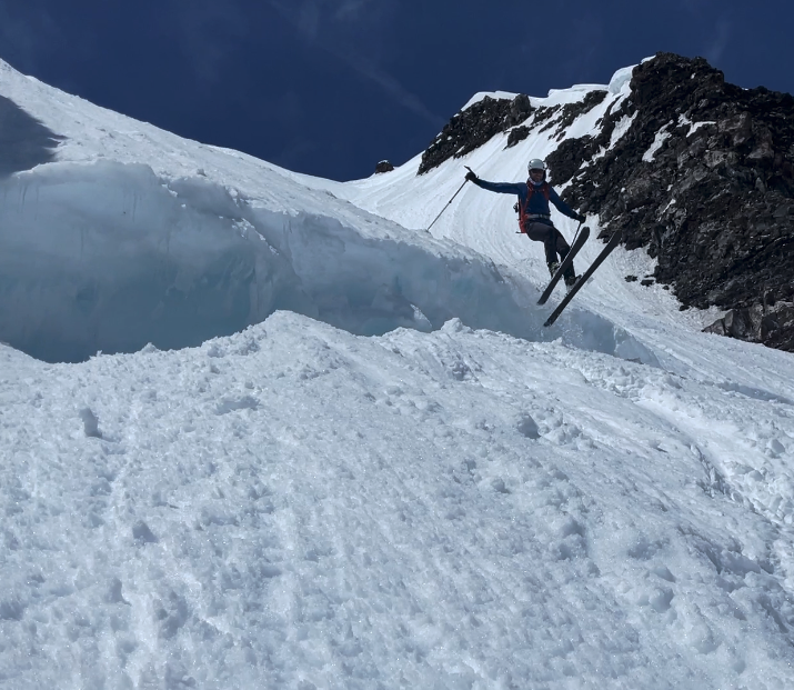
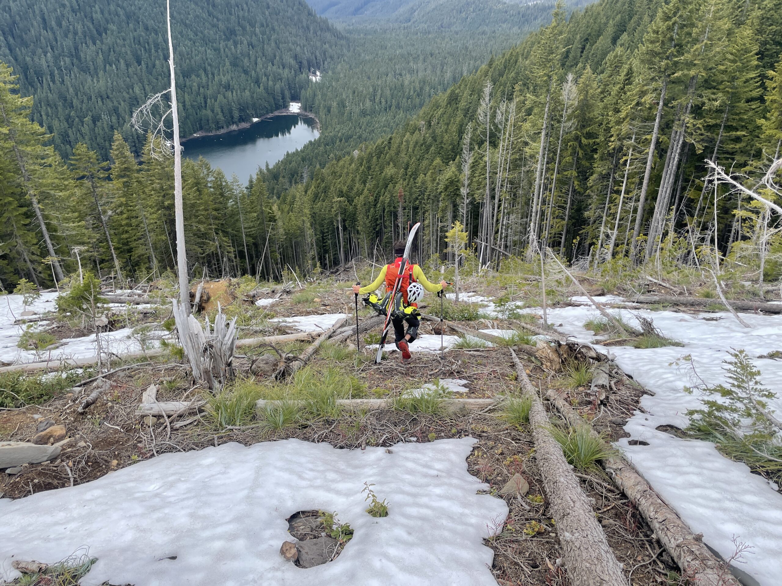
Back into Bend for some work and supplies and we were off to Pole Creek Trailhead for a doubleheader of the SE ridge of North Sister, up Hayden Glacier to the Summit of Middle Sister, and then ski the Diller Headwall. North Sister is a craggy and jagged peak and one of the hardest climbs in the Cascade volcanoes. We wouldn’t be summiting North Sister, but we would be able to get a few hundred feet below the summit to ski and avoid the 5.8 climbing of the top 400’. Middle Sister on the other hand would get us onto glaciers and steep ice. We climbed the Hayden Glacier and then had 55-degree snow ice to the summit. My flimsy aluminum crampons were not sufficient. We were treated to being able to ski the Diller Headwall which we learned from some locals is not always skiable. An amazing 42-degree descent, jumping the bergshrund, and then a few thousand feet of corn on the apron put us back to our shoes and a long 3.1 mile walk out over lots of deadfall.
| Day 3 | Daily | Total |
| Ascent | 6,460′ | 16,610′ |
| Descent | 16.6 miles | 42.1 miles |
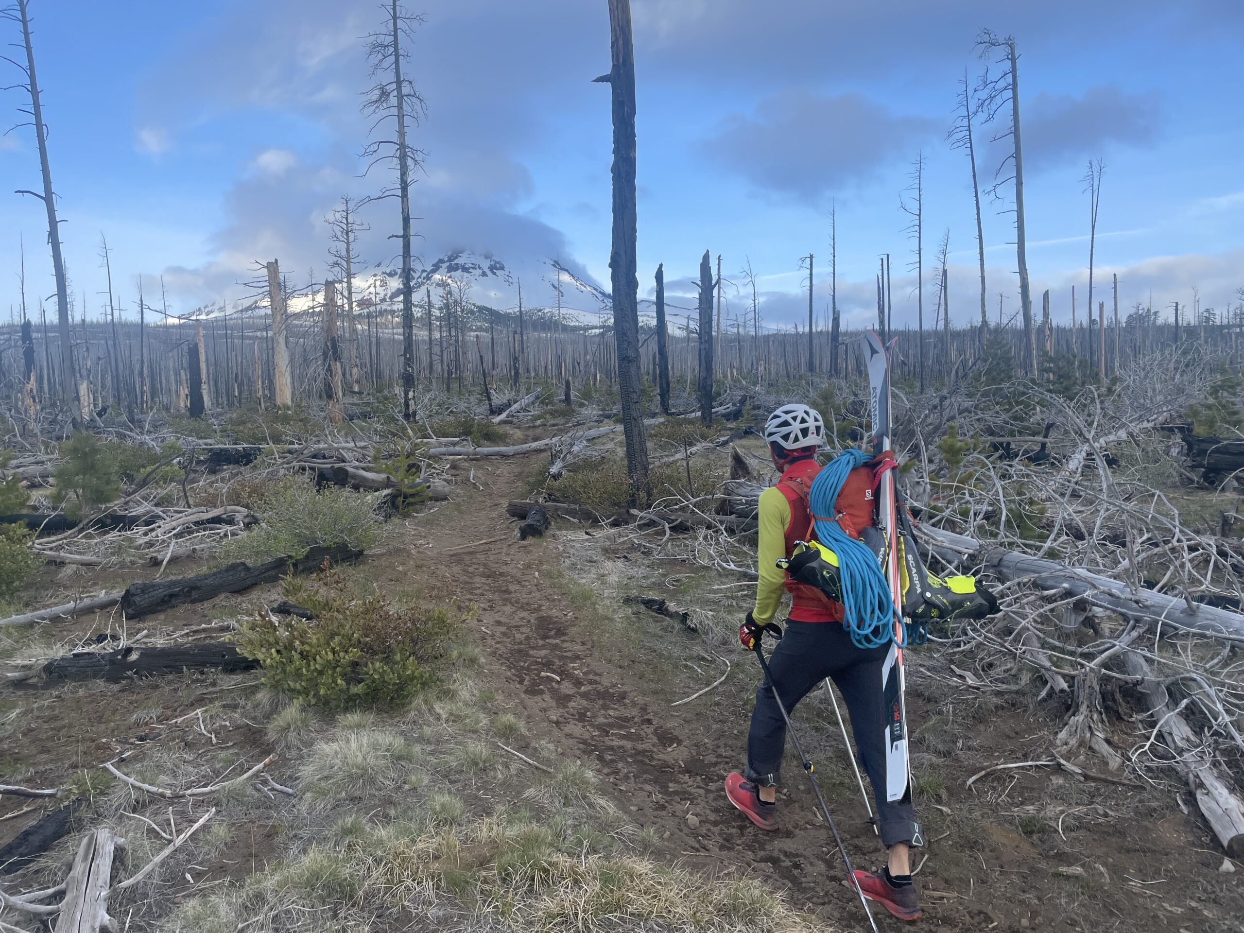
We had a 1.5 hr drive to Mt Jefferson – or so we thought. We arrived at the junction to our trailhead to a closed road and no cell service. From Jim, who we met at Pole Creek, we knew there was good skiing up from Pamelia Lake so we rerouted to that trailhead and the task of planning a new route.
Mt Jefferson is an extinct volcano that last erupted 40,000-50,000 years ago. It is the only volcano in the Cascade range that hasn’t erupted in the last 10,000 years. The peak was named by Lewis and Clark in honor of President Jefferson. The peak is the 2nd highest in Oregon and has 5,777’ feet of prominence!
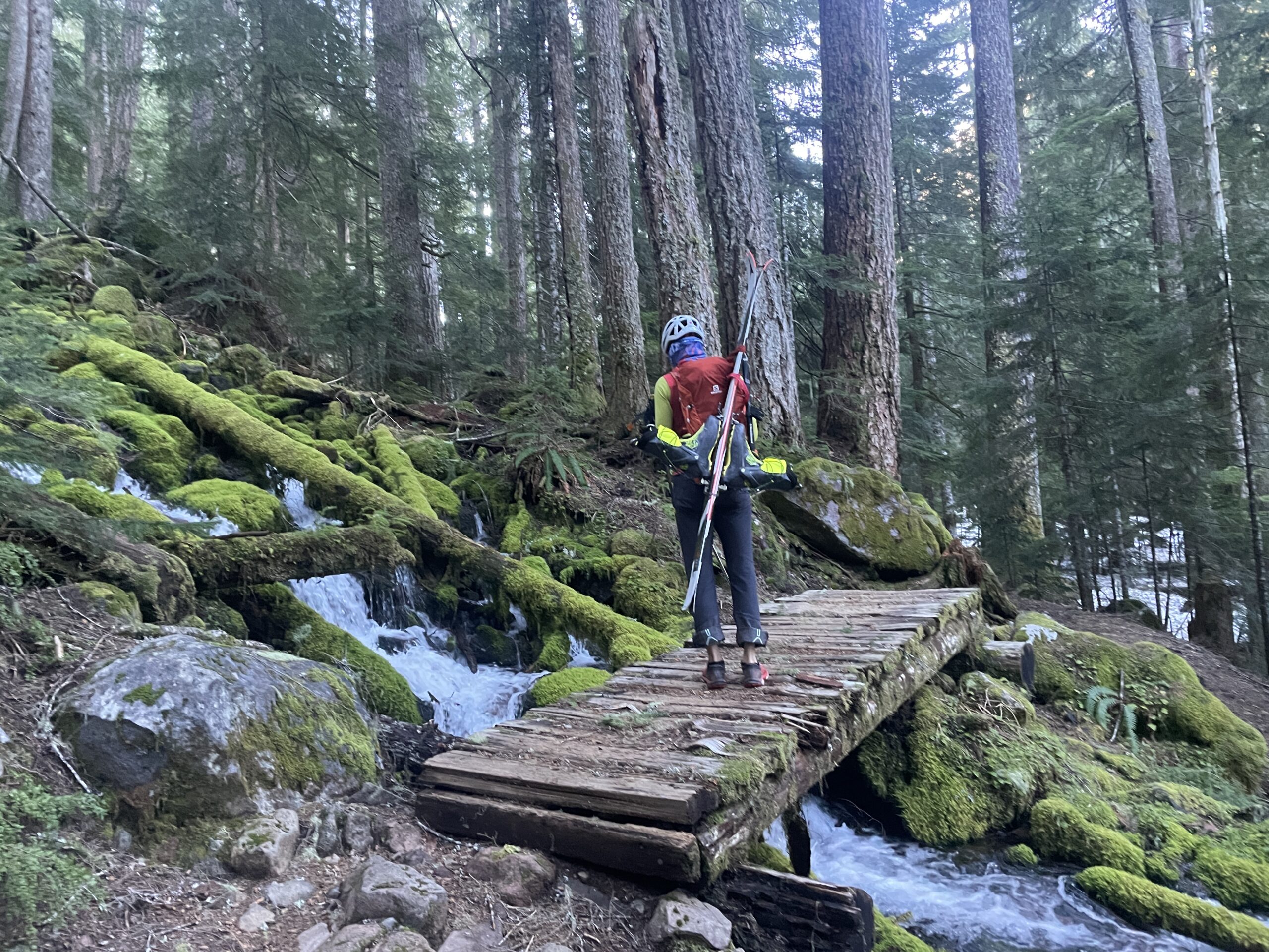
The skiing options from Pamelia Lake looked great, but the approach, not so much. The trailhead was only 3,100’ which was 1,000’ lower than we planned. We decided for a 6 AM start. 8 miles later we finally left dirt for snow and started the 5,200’ climb to just below the vertical wall of the Mt Jefferson Summit. The climb was long into the beating sun and we cooked as we climbed. We ran into a couple more locals that Jim had told us would be there and climbed for a few hundred feet with them getting more beta. After the long climb, we were treated to the 5,200’ descent on amazing corn. The LONG hike out seemed to last forever but was only around 2.5 hours. Back at the van, we ate, packed, and got ready for the 3.5-hour drive to Mt Hood.
| Day 4 | Daily | Total |
| Ascent | 7,480′ | 24,090′ |
| Descent | 20.2 miles | 62.3 miles |
Mt Hood is a volcano with active fumaroles that last erupted in 1865 and is said to have a Very High potential to erupt again. While one of the best ski lines is the Wy’East, we wanted a summit so we were going to climb the South Side and either Old Chute or Pearly Gates. Mt Hood is the 2nd most climbed glaciated peak in the world (Mt Fuji being the most climbed).
We woke to horrible weather with 100-meter visibility and light rain. We hung out drinking coffee, working, and analyzing weather model after weather model. There appeared there might be a break in the afternoon so we decided to ascend to 8,400’ and wait for a couple of hours for a potential weather break. The weather didn’t break. We descended back to Timberline, enjoyed the comedy show of the parking lot people, analyzed weather models once again, and decided there most likely would not be a window.
| Day 5 | Daily | Total |
| Ascent | 2,650′ | 26,740′ |
| Descent | 4.7 miles | 67.0 miles |
We finally decided to pull the plug and drove 10 miles down when the storm broke. Back to the drawing board – meaning looking at the weather models. The models still did not favor a summit, but they were consistent for the next 14 hours. We turned around and headed back to the parking lot with plans for a 3:30 AM departure which would get us to the summit and back down before the weather front moved in.
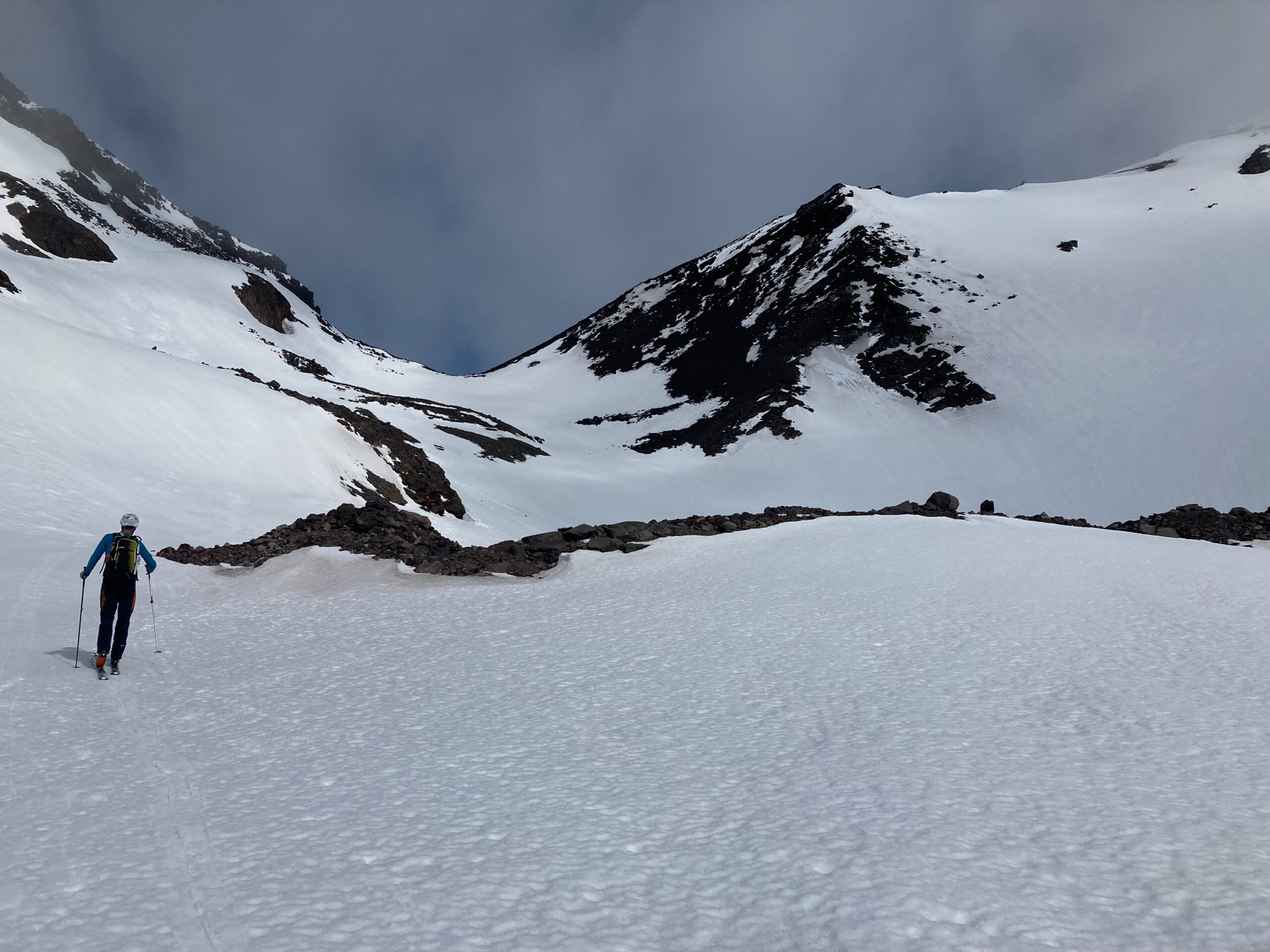
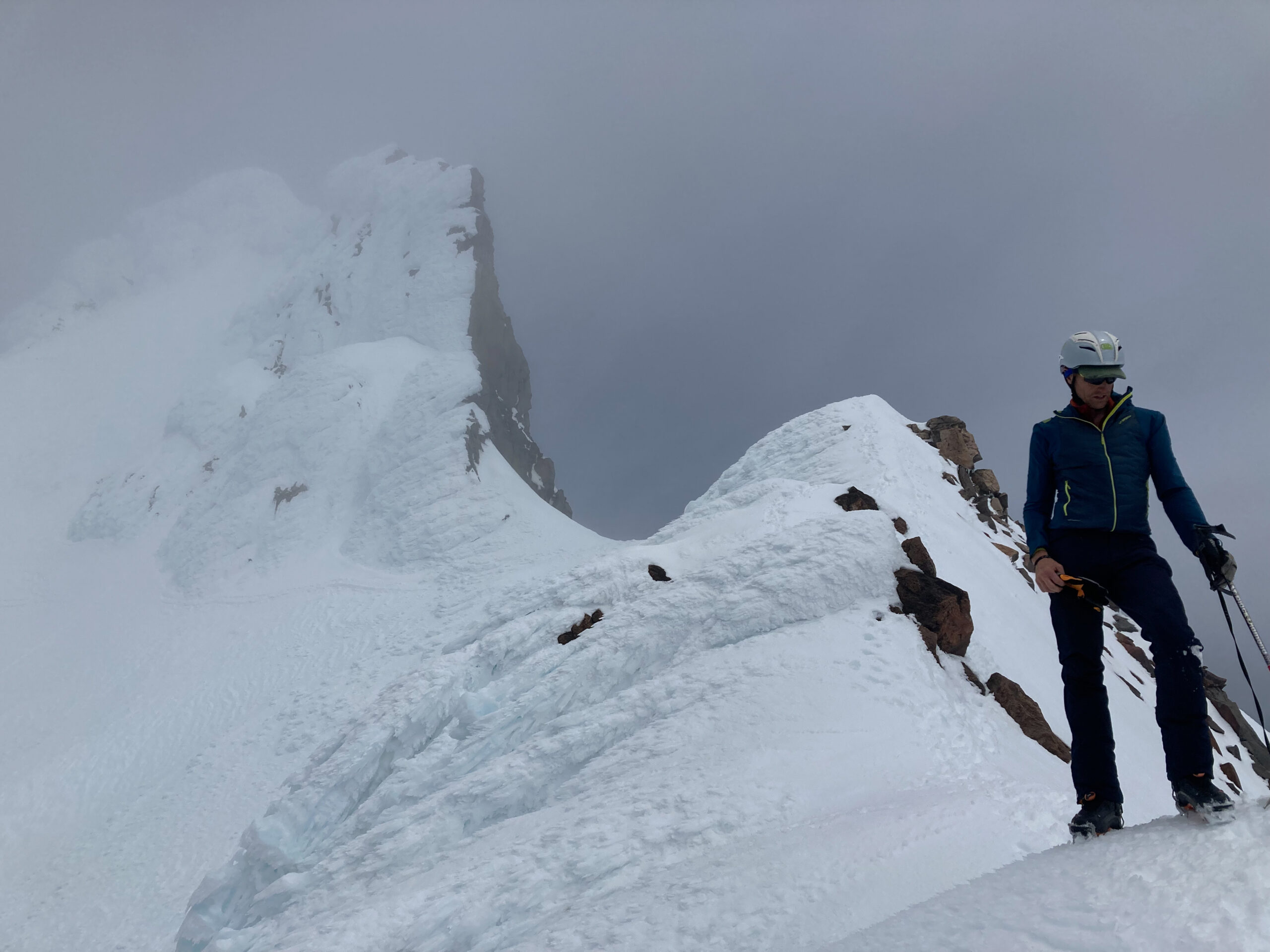
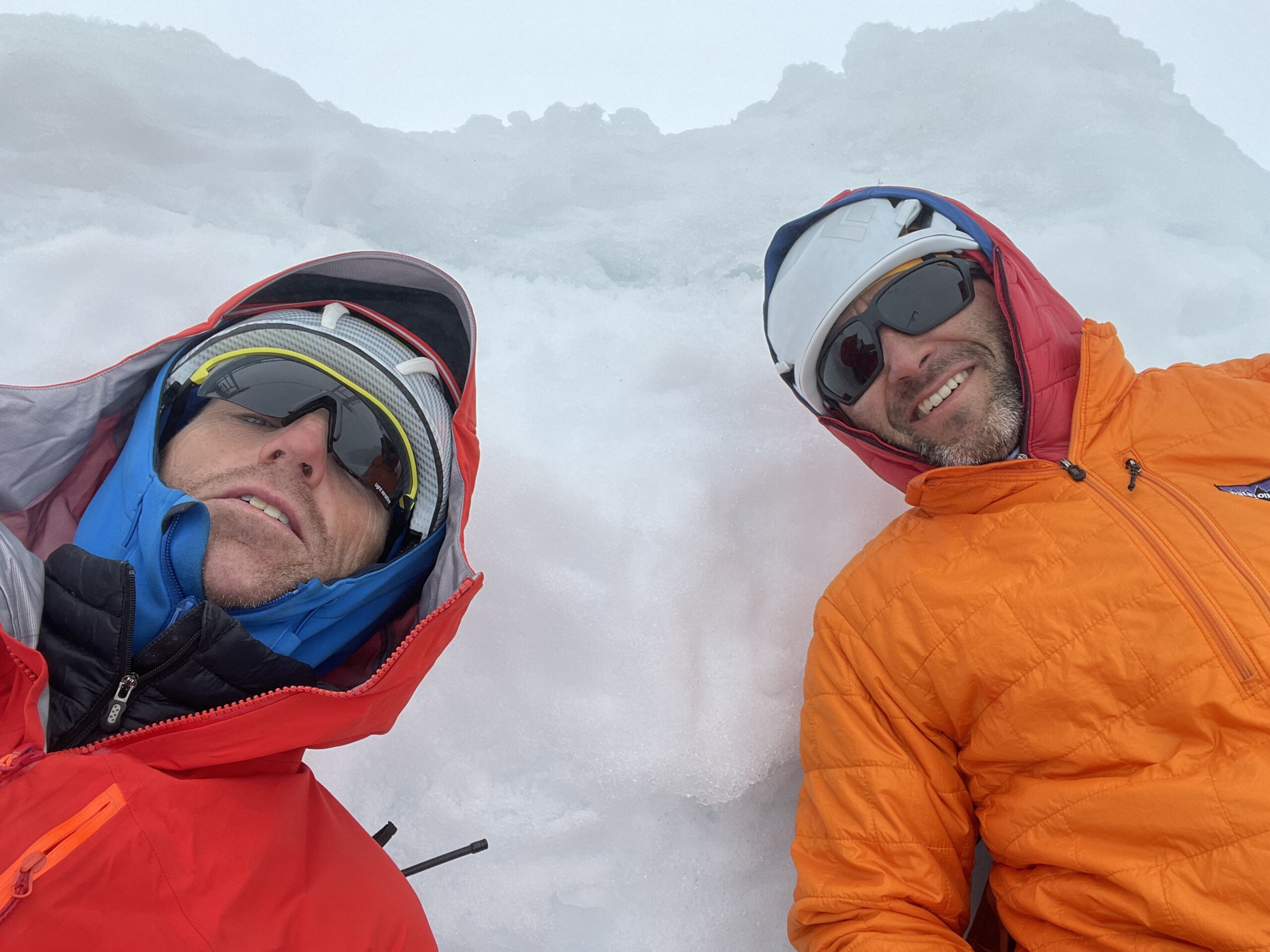
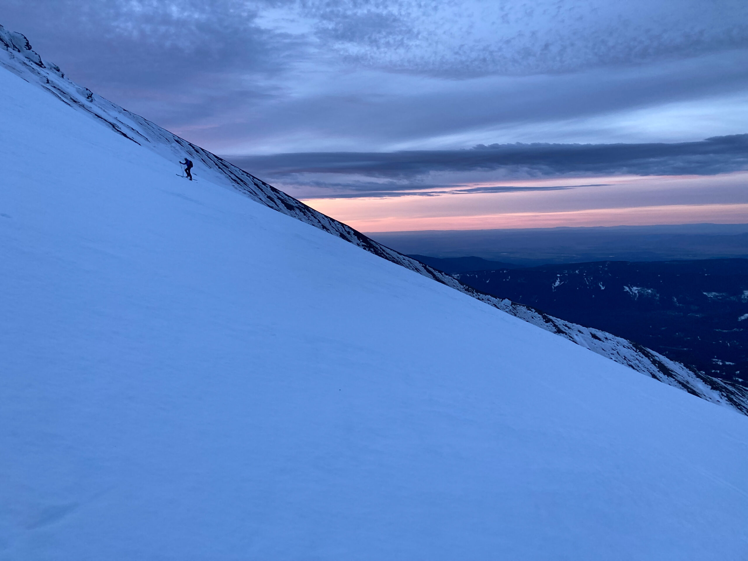
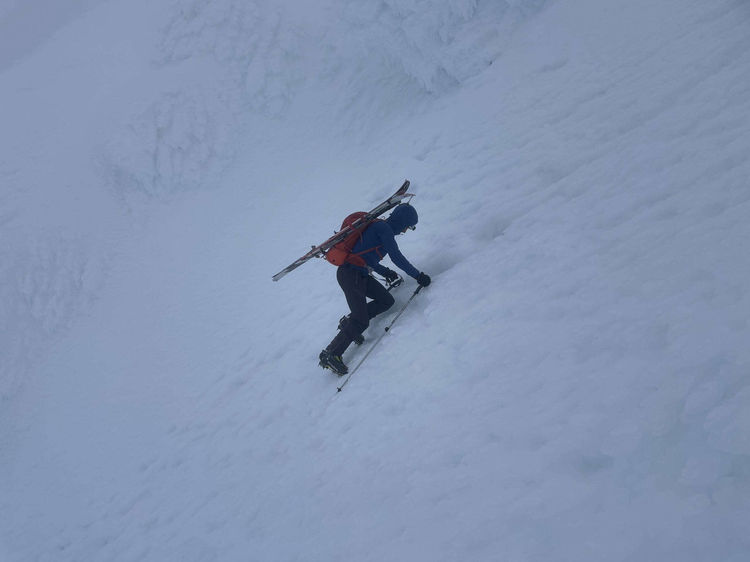
The 3 AM alarm was early. We dressed and ate quickly and were on skis by 3:30. We made good time climbing at a strong, but comfortable pace and ticking off the first 4,000’ in 2 hours. The clouds moved in around sunrise and the wind picked up strongly. We were hopeful the weather would hold, both concerned about winds on the summit. We locked in compass bearings for our descent assuming we would have limited visibility.
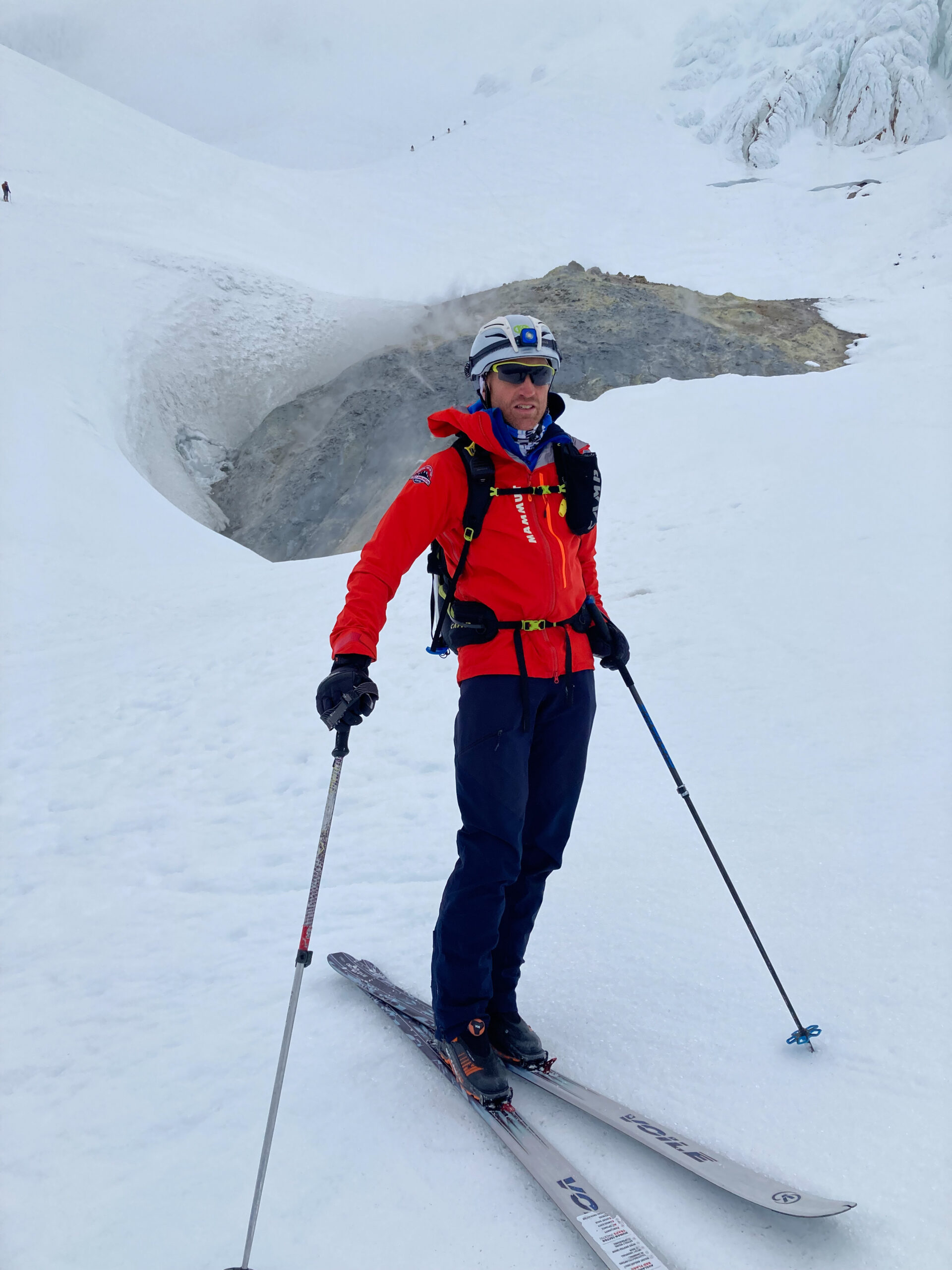
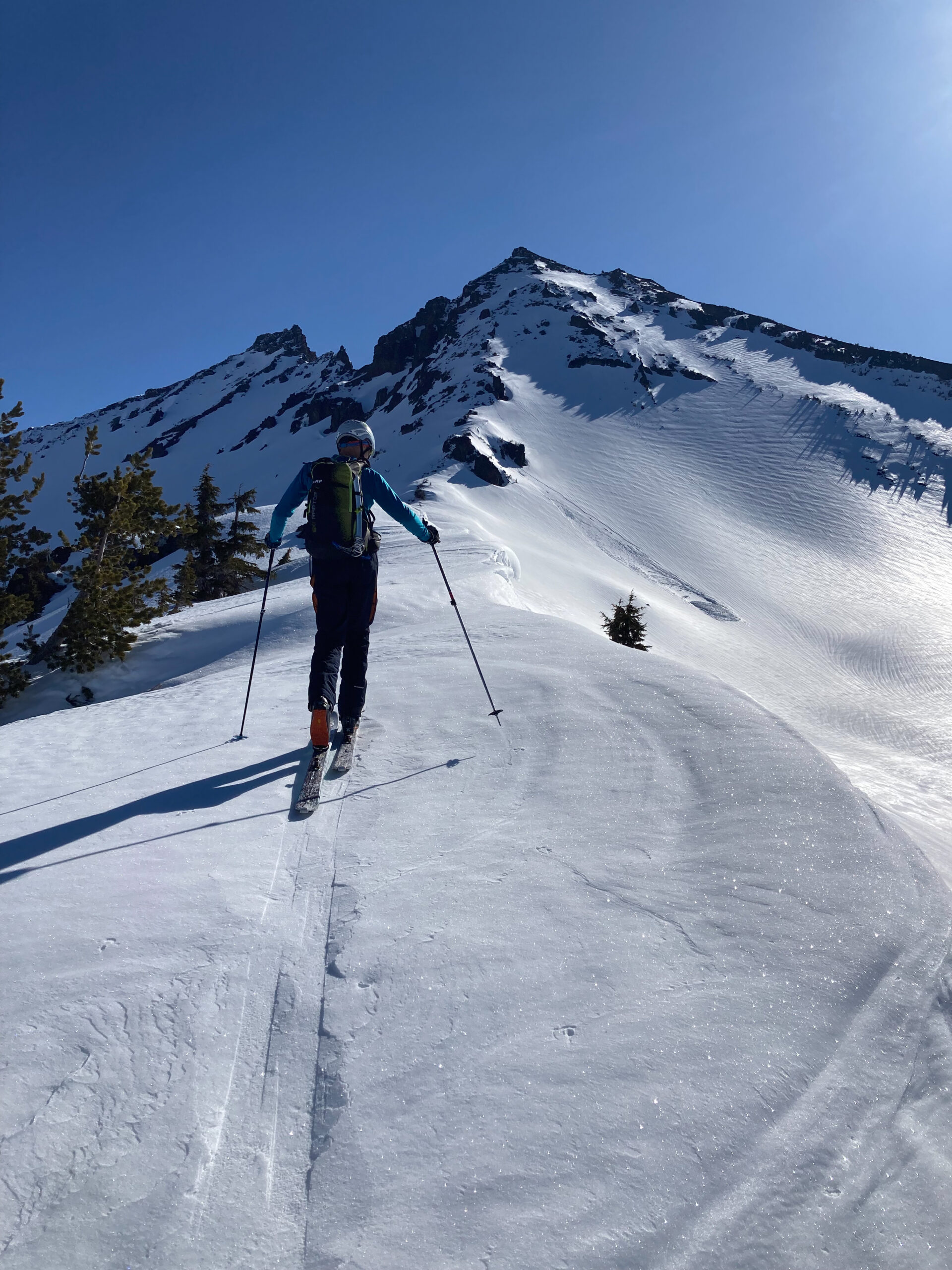
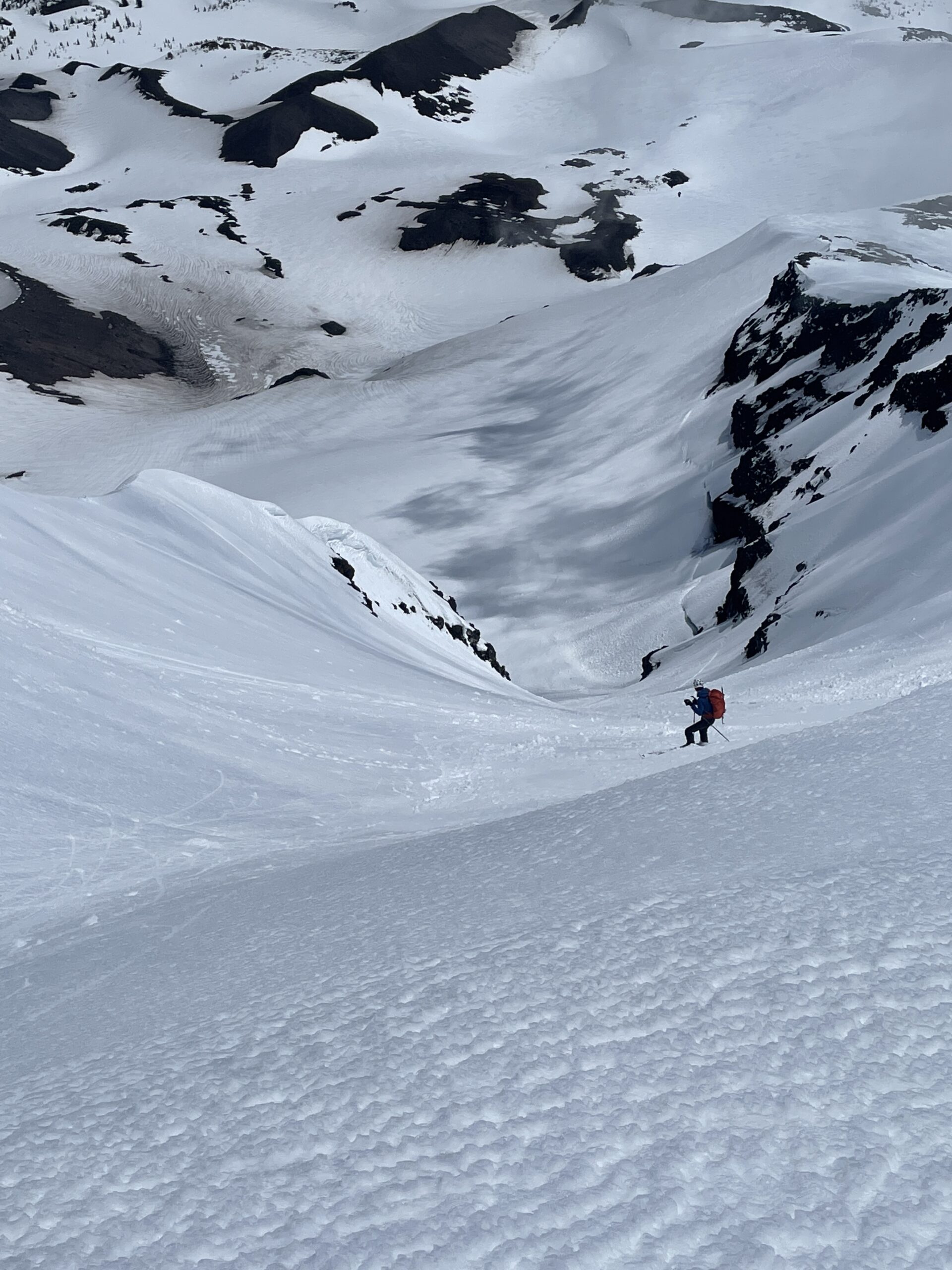
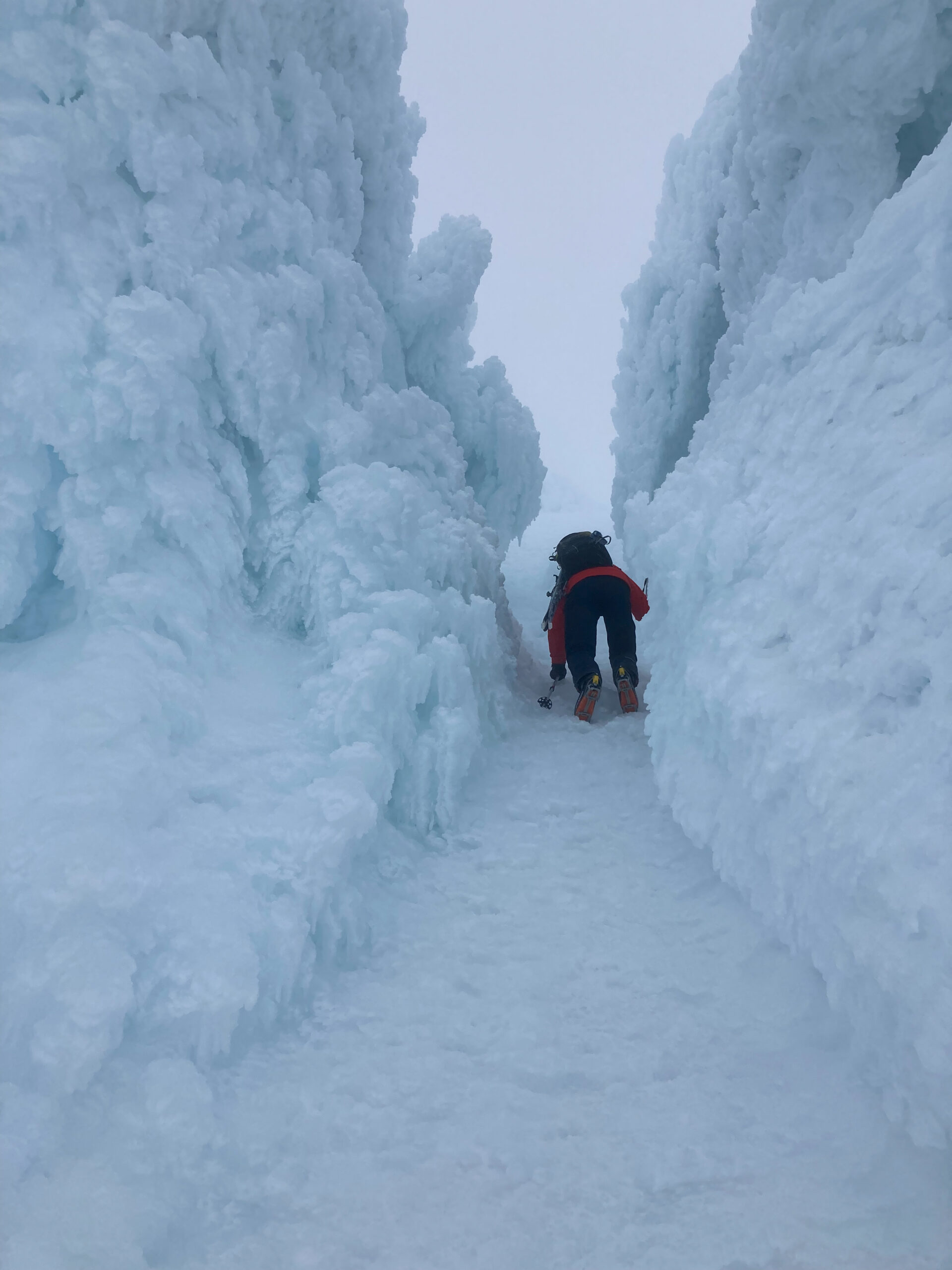
We switched to crampons at the fumaroles and continued up through the Pearly Gates which were an amazing tunnel of ice taking us to the crater rim and then the summit.
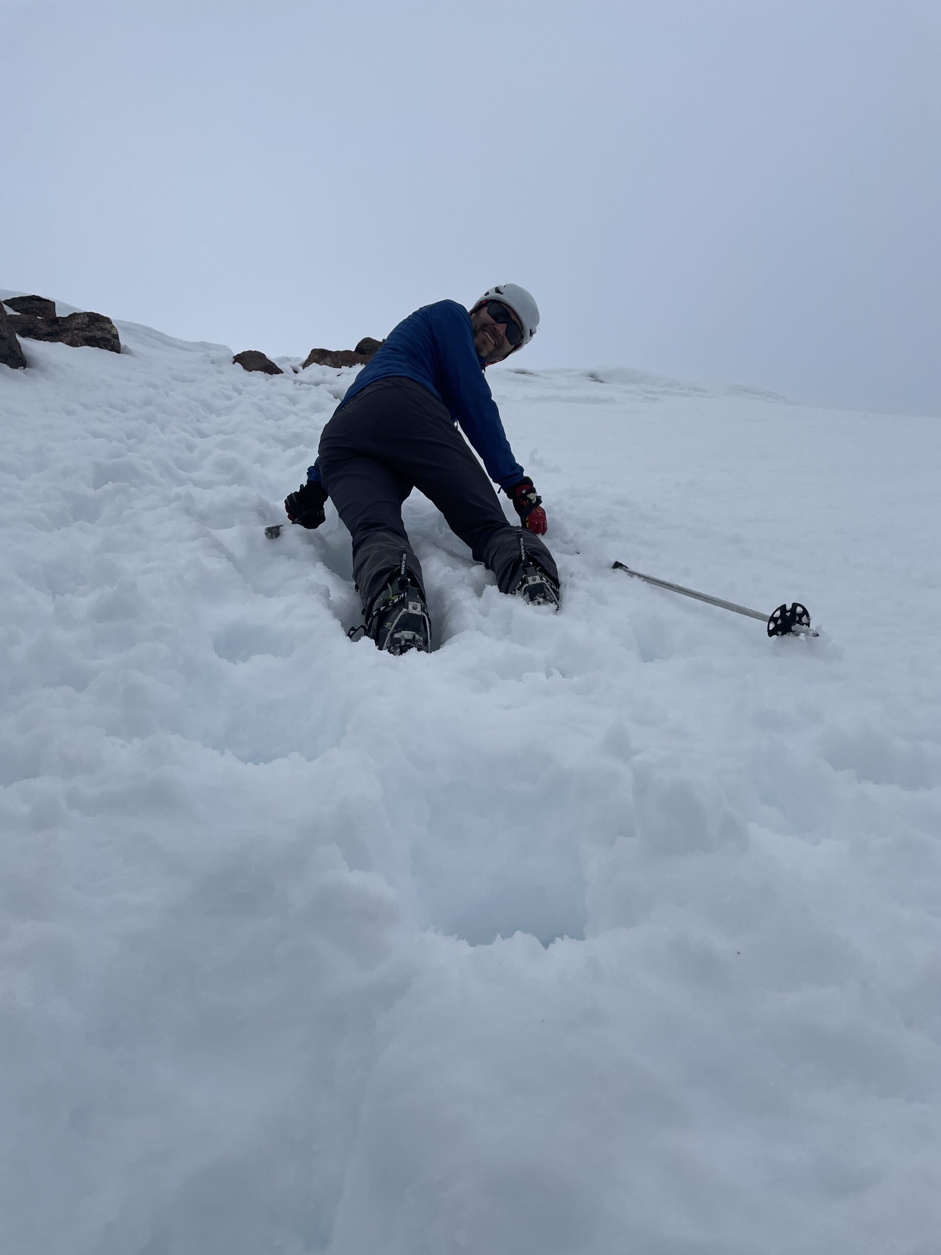
We had to downclimb to the bottom of Pearly Gates and then I switch to skis for a rowdy 50+ degree descent on solid ice. To say I skied it would be an exaggeration. With poles on my pack, I used my ice tool to lower myself down the pitch until it dropped to around 45 degrees. The ice didn’t subside for another 1,000’ after which we were treated to around 4,000’ of great corn all the way to the parking lot.
| Day 6 | Daily | Total |
| Ascent | 5,460′ | 32,200′ |
| Descent | 8.2 miles | 75.2 miles |
Our weather window was officially shut and our skiing would be over for the trip. While we didn’t get 7 volcanoes, 6 volcanoes in 5 days of skiing was a success.
Leave a Reply